I needed a walk of about 5 days to fit a weather window in late July. I had no idea what to do: I wanted something meaningful rather than just pootling around in the Lakes or Dartmoor, but a 5 day time frame didn’t leave me a lot of scope. I could easily find something closer to home, but it was slim pickings further north where I really wanted to head for.
And then I ran my eye down my list of long distance paths and Hadrian’s Wall came up – a walk I’d put on the back burner some time ago. It seemed to fit the time frame and the pattern of weather rolling in later in the week. So I went for it.
The Hadrian’s Wall Path is officially 84 miles, or 135km, long and follows the course of northern Europe’s largest surviving Roman monument – the wall built on the orders of Emperor Hadrian in AD 122. It marked the northern limits of the Roman empire and was built to keep the pesky Scots out.

Given that it follows a UNESCO World Heritage Site, creating the path was a problem as every little bit of trail infrastructure (signs, waymarks, fence posts etc) had to be supervised by archaeologists to ensure no damage to the Wall itself. It actually took longer to open the Path than it took the Romans to build the Wall!
It’s generally reckoned to take 6 days, give or take, to walk the wall – for an average hiker. I wanted a more aggressive schedule, so planned on doing it over 4 big days, but had a fifth day available if I needed it – if I did complete the trail in 4 days, I’d simply use the extra day to extend the walk to the east coast proper at Tynemouth.
As it turned out, I used all 5 days. I backpacked the trail, carrying the full camping load every day, except the final day. The plan was to camp the first 3 nights, and the 4th and 5th I got a hotel in Newcastle – if all went to plan I’d simply finish on day 4 and go to my hotel, leaving me an easy extra day to extend the walk to the coast (which I could do from the hotel door). If I ended up needing the 5th day, I’d hopefully have gotten close enough to my hotel on day 4 to make it still work.
In contrast, some friends of mine with kids started the trail the day after me and planned to take 7 days, using roofed accommodation and baggage transfer. So you can see that this trail affords a wide range of possible ways and timescales for completion.
Because I’m a cheapskate, but also because I wanted to use my time efficiently, I once again opted to do my travel using the coach, taking the overnight service to Carlisle, which got me there comfortably in time for the first bus out to the start at Bowness-on-Solway. This meant I did have next to no sleep though, and I groggily staggered around Carlisle just after sunrise looking for coffee, expecting to find some in the environs of the station.
Weirdo-magnet that I am, I then had to endure just under half an hour at the bus station with a drunk who’d been delivered there by a local constable after the staff at the station refused to let him go home by train. The thinking being that he could bus down to Penrith and try his luck again. Cue a long time listening to life story, how the policeman concerned was such a good friend etc.
Eventually my bus came and it was just over an hour’s journey to Bowness-on-Solway. On the bus was a fellow walker, Josh, who I’d see several times a day for the first 4 days.
Day 1: Bowness-on-Solway to Bleatarn Farm, 36km and 227m or ascent
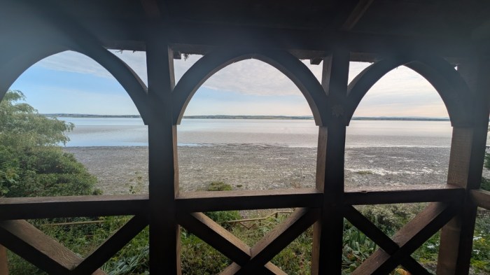
I followed the signs down to the start at the little pagoda thing marking the point the path sets off.

The start of the walk was all about nice open views of the Solway, although unfortunately mostly from the road.
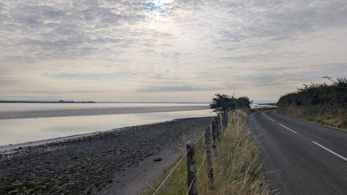
Then a nice cool wooded section before back out onto the road.
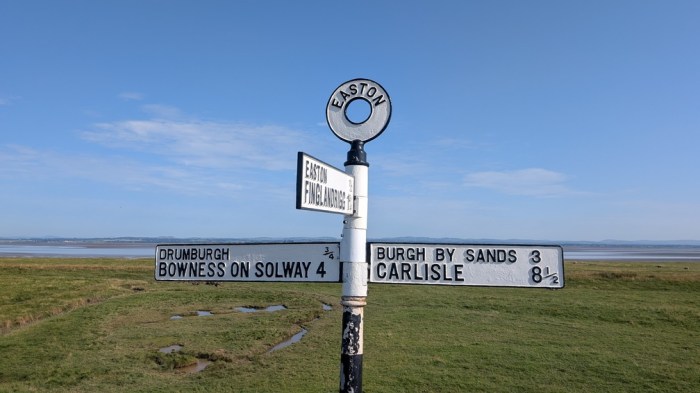
Here an embankment to the right of the road provided a less deathy way of making progress than walking along the road. It went on for miles, although several times I had to go back out to the road to pass fences and the like.

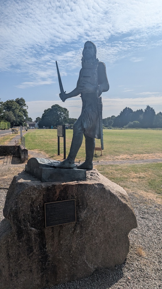
I took my first stop in Burgh-by-Sands, sitting on the village green. Here was a statue of Edward I, who died of dysentery here in 1307. I hoped this wasn’t an omen for my walk.
Lots more road walking followed which brought me to Beaumont where I came across a little coffee horse box, and partook thereof. I caught Josh here who’d left me for dust earlier on, setting a pattern that would repeat the whole time.
Off-road now and a climb across grass and encountering my first people heading the other way.
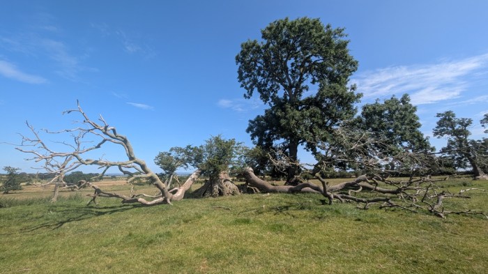
I passed a guy faffing with his rucksack, and a short while later just as I was climbing a series of steep steps back up to road level, he caught me up. We walked together the rest of the day.
It was a bit of a slog into Carlisle – the city that never seems to get any closer, as also evidenced by my experience of walking the Cumbria Way some years ago. Worse, the slog seemed to contain lots of downs and ups to pass various obstacles. We walked into Carlisle ready for a sit down and some lunch. Initially we tried the Sands Centre but after waiting nearly 15 minutes for someone to turn up and take our money, we abandoned the cold drinks and headed for the nearby pub.
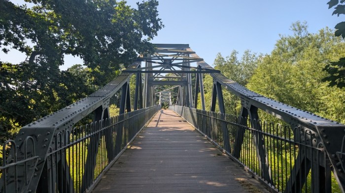
The afternoon began with crossing the Eden and a walk through parkland. With only about 10-12km left, it was a slow one nevertheless. There may have been some sitting under trees. We walked past the first campsite option at Crosby-on-Eden and it didn’t look like much, so we pressed on for Bleatarn Farm, which also wasn’t much but did at least have people there. It was a bit of a squeeze in the small tent area, with 3 bikepackers, Josh, and a couple of larger tents already set up.
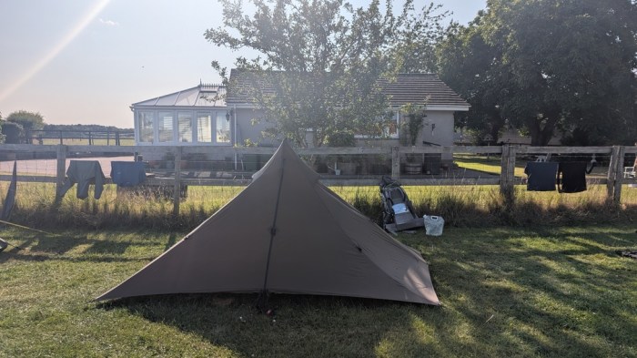
Day 2: Bleatarn Farm to Winshields Farm, 35.6km and 862m of ascent
Some welcome cooler weather to start the second day, and there were even a few spots of rain. It wouldn’t last though.
Back onto the trail and initially it was mainly grassy paths following the course of the wall – no Actual Wall yet though. But there seemed to be a lot of walking alongside ditches. And hay fields, lots of hay fields.
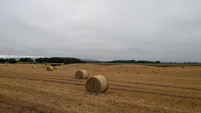
Walking through Banks and Newtown, we came across honesty boxes, or more correctly honesty shacks, the trail being dotted with these throughout. Too early in the day to partake, and in any case all I was really interested in at this point was bacon.
At Haytongate, a scattering of picnic tables signified another honesty shack – this one with added trail merch shop. I wasn’t prepared to pay £2 for a cup of instant coffee I had to make myself, so compromised with using the kettle and one of my own instant latte sachets, a suitable donation being made for the use of the kettle and water.
Soon at Hare Hill, we had some Actual Wall, coming across it quite unexpectedly.
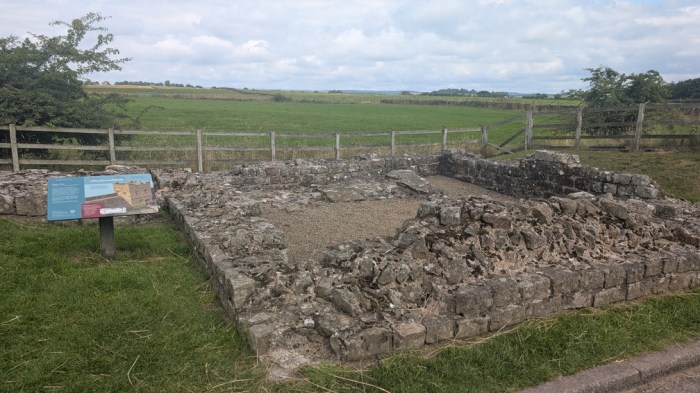
Lunch was taken at Birdoswald, which was busy with visitors, and a Josh lounging in the shade of a wall. And 3 lads we’d seen late the previous day.
At Gilsland, the waymarks pointed us through the village, but I’d read my guide book the night before and spotted that the detour may have been a bit overkill – it was to avoid a stream that has no bridge. We struck out around the edge of Gilsland on a rough path through the grass, and came to the Mightly Unbridged Torrent.
…and promptly stepped over without breaking stride. Ok in wet conditions the ground either side would be a bit unpleasantly boggy, but still crossable. I was pleased I’d not done over 1km extra on tarmac to avoid this.
We climbed up and crossed the railway and soon were bumped into the 3 lads, whose caginess the previous afternoon about how far they were headed that day, was confirmed to be due to them wildcamping.
We mingled and walked with them for a while – well the faster fitter two anyway – and then pushed onwards.
At Thirlwall Castle I made the only real navigational error of the trip, not spotting an acute right turn just before the castle, and instead climbing up an unnecessary path, until it felt wrong a couple of hundred metres further on.

Then a succession of roman ruins – bits of wall, turrets and milecastles. They started to blur into each other a bit.
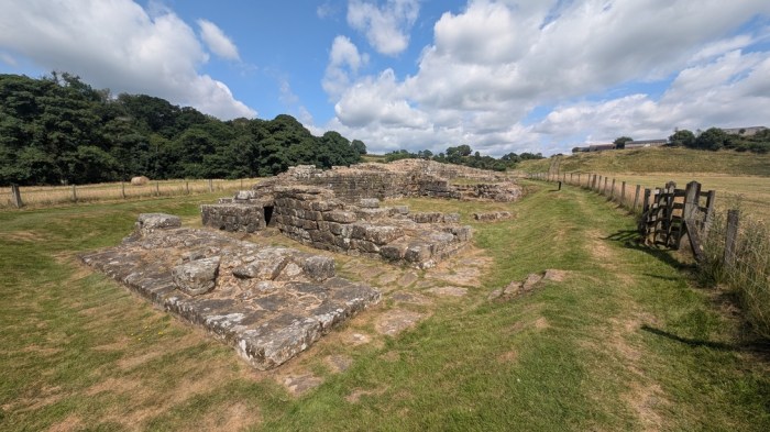

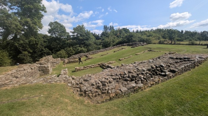
We stopped at the visitor centre at Walltown Quarry for cold drinks and ice cream, with still a good amount of work to do, most of it involving up.
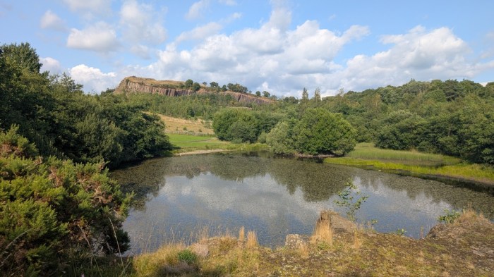
And so a succession of crags to climb over, right at that point of the day when the legs had had enough and reserves of energy were down to fumes.
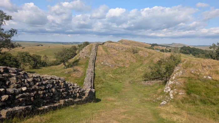
With a couple of off-path options for campsites, there was discussion as we passed each one. Not much discussion, as with a mile of undulating (and what looked to be mostly up) road, and prices reaching up to £42 per their websites, there was no way that was happening. (it turned out later Josh had stayed at that particular campsite, but it was “only” £37). No thank you.
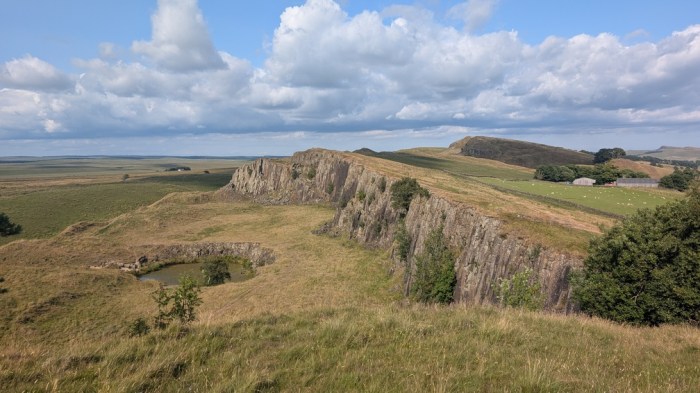
So the plan of making it to Winshields Crags, and Winshields Farm below stayed, rolling in at 19:45 after 11:40 of time on feet. I was wrecked, and it was already clear doing similar the next day wasn’t going to work.
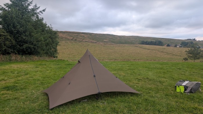
I threw the tent up, then trekked back to the farm buildings for a shower and some dinner, staying in the common room for nearly an hour chatting with a couple of fellow walkers. Then it was back to the tent in the dark.
Day 3: Winshields Farm to Green Carts Farm, 19.3km and 575m of ascent
Before turning in, I’d looked at the map and my route card to form a rough plan for the following day. I decided to target the imaginatively titled Wall, where with an email to the parish clerk, I could camp on the village green, giving me more like 24km for the day.
With less work needed, I had a leisurely breakfast, a bit of a laze and pack up. Tom, my erstwhile companion of the last day and a half came over and I gently hinted that he didn’t need to wait for me – I’d be taking it easy today. He waited anyway.
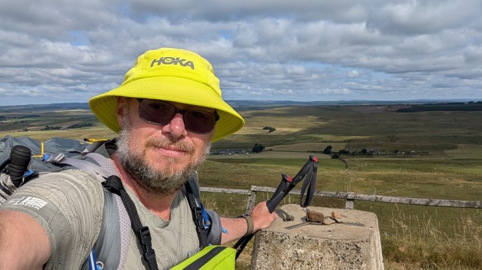
We took the path leading up from the farm to the crags, and a small climb later topped out at the highest point on the trail at Green Slack (345m). We were then into what most people would call “proper Hadrian’s Wall” territory – a succession of crags to climb up and over, the Wall winding itself up and over alongside.
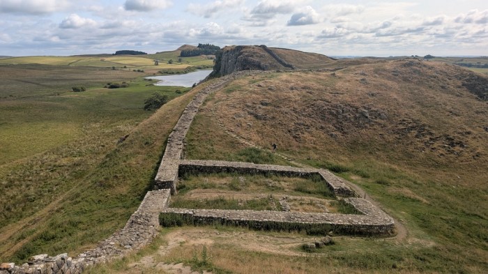
Before long, we were looking down on Sycamore Gap, before descending for a minute’s silence at the remains, and then the first break of the day.
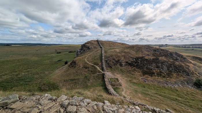
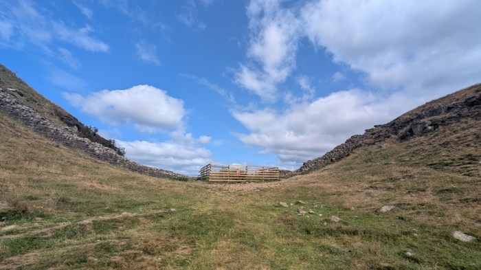
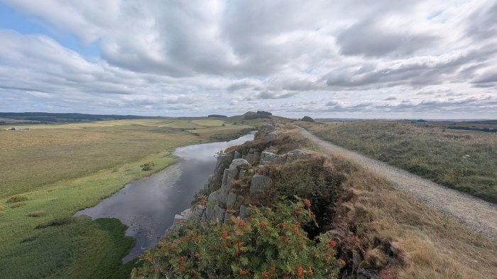
We were still only an hour or so in, but the pace we were going at was already concerning me – there’s no point having a shorter day if you still end up arriving without time to relax at camp: and that’s what the pace was already suggesting.

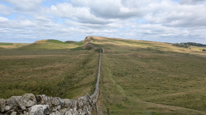
I took stock at Housesteads and told Tom that I intended to pick up the pace on the non-up bits to try to avoid a repeat of the previous day. Walking with someone is all well and good, but chat does tend to reduce your pace.
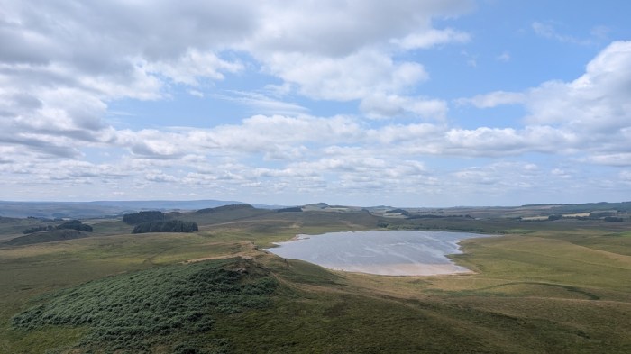
We left Housesteads and did some more craggy bits, with awesome views back along the wall. At one point I had a very brief stop to take a picture, while Tom lingered, and before I knew it I was a couple of hundred metres ahead and moving strongly. I stuck with it.
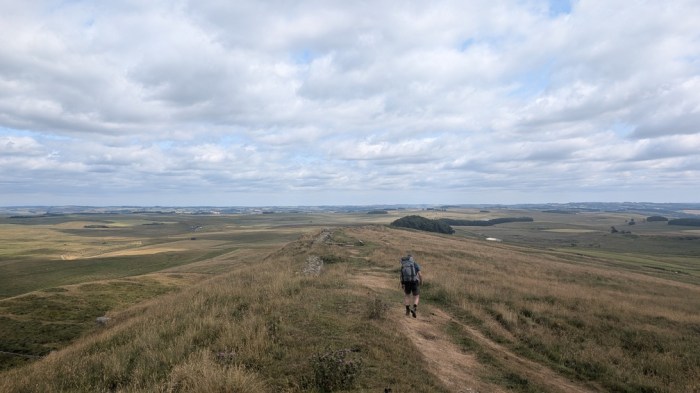
The crags were lessening now, then there was a wooded section right on the side of one, and as if by magic at Sewing Shields an honesty shack, and loads of people on benches outside. I popped in for a look, decided to not bother with the fancy more artisan brands of cold drinks they had, and went straight for a Heineken Zero, which I paid for and then just drank as I walked.
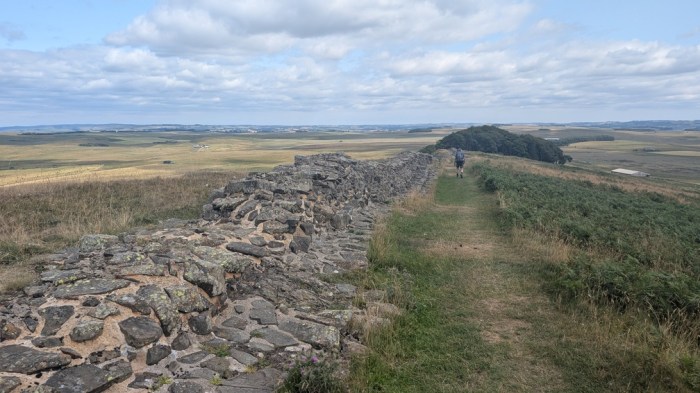
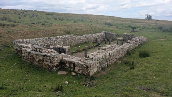
I hadn’t noticed Josh there, but we left at the same point and then actually walked together for 20 minutes or so. Then his slightly superior pace (and to be honest, his far superior youth) saw him forge ahead. I was still making good pace though. My next target was Brocolitia Fort where there were rumours of a coffee van. I paused briefly on the approach to look at the remains of the temple of Mithras, then headed for the car park.
And what a coffee van it was, not that I actually had any coffee – a bag of crisps, two cold drinks, and a cup of ice sorted me out, and there were chairs too. One of the coffee van person’s kids looked rather bemused when I stuffed some of the ice into my hat, but this was the first chance I’d had ever to use the dedicated pockets on my hat for that purpose. The rest of the ice went in my drink bottle.

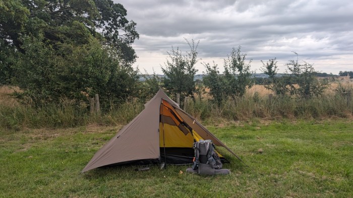
A plod along the road, skirted a wood then came out on a section of Wall in a grassy field. By now I’d started thinking about an earlier stop, so quickly checked the details of Green Carts Farm to make sure it wasn’t a £42 experience (it was a £12 experience!), and then struck off at the lane to the farm, arriving pretty much bang on 4pm. According to my guidebook, this was arguably the best campsite on the trail, largely it seems by virtue of having some washing machines.
I found a spot at the far end of the main camping field, put the tent up, found it immediately swarmed by flying ants, and skedaddled to another spot, where the flying ants caught up with me a bit later, although they did eventually move on completely.
Day 4: Green Carts Farm to Newburn, 38.2km and 512m ascent
I knew by now that I wasn’t going to finish in 4 days, but with 2 days left and 52km, by my calculations (ha! more like 58km it turned out), a couple of moderate days beckoned. And better still for the legs, although not for the scenery, the up and down would start easing off too. I still wanted to do over half of the remaining distance today, so as to give me an easy final day, and preserve at least some legs for parkrun.
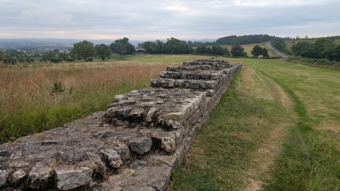
So at about 30km, Heddon-on-the-Wall was my minimum target. I also made an early start, leaving the campsite at 7:24am. The walk started pretty much as the previous day ended – a short section of Wall in a grassy field, then pretty much nothing.
I expected to encounter Tom, thinking he’d have gone further the previous day and that that would cancel out my early start, but I never saw him again. What I did see plenty of, though, was the B6318 – pretty much the whole walk to Heddon-on-the-Wall was on or parallel to that road.

With the best scenery behind me, and some far less inspiring terrain ahead, the focus was on making progress, and I flew along maintaining 3mph pace even with ups and downs.

I rolled into the coffee shop at the Port Gate roundabout almost exactly 3 hours after setting off, and here had a proper half hour stop – with few places on today’s walk, I meant to use the rest places properly. So coffee, a bacon roll, a cold drink. Naturally, Josh was finishing up as I arrived – he’d camped ahead of me the previous night, and my early start and pace had given me an opportunity to say goodbye and wish him well for the rest of the walk: he said he was aiming to finish today, a walk of comfortably over 40km, but doable when you’re walking home, as he was.

I left the coffee shop and did a bit more shadowing of the B6318, this time the path veering away a bit more, but always returning to the embrace of the tarmac. Even with this, I was still quite impressed how the trail managed to cut through as much farmland as it did and for so long.
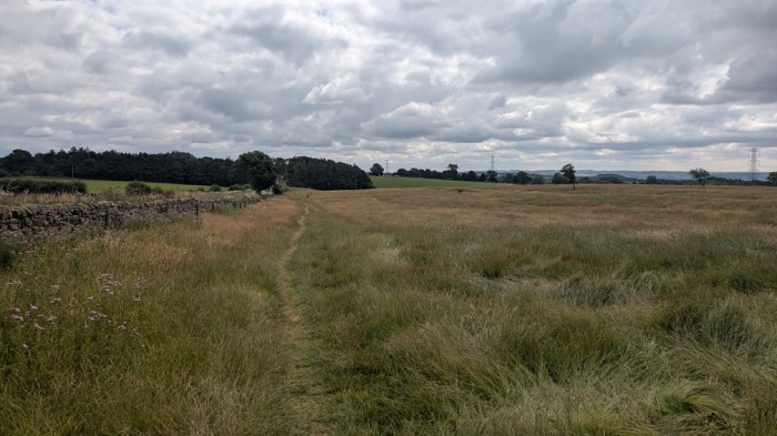
My next stop came at East Wallhouses, and the Robin Hood Inn – another half hour respite from the hot day.
The afternoon passed in a bit of a blur as I closed in on Heddon-on-the-Wall, where I again had about a half hour stop to consume cold drinks and ice cream from the petrol station there. I also considered stopping there, but it was only 3:30pm, and I could usefully pull forward some walking from the next day. The trail out of Heddon weaved around the village a bit and it was a relief to finally arrive at the River Tyne, which would be my companion for the rest of the trail.
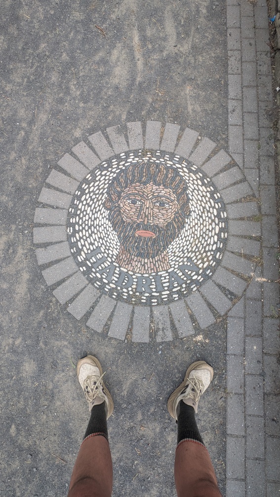
It was another 7km to Newburn, most of it along cycle paths. At one point I lost the actual trail, and had to cut along the edge of a field to regain it, but it didn’t matter – at the end of the day it was man-made cycle path all the way either way.
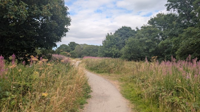
I pulled into Newburn and had had enough for the day. I seized the opportunity to grab some food from the chip shop, and threw it down my neck while I waited for the bus, which handily took me as near my hotel the other side of Newcastle as I could realistically do, leaving me with a mile or so through a business park to do.
Day 5: Newburn to Wallsend, 20.6km and 192m ascent
I knew I didn’t have much today, and would be travelling light, as I had the hotel room for two nights, and could leave all but the barest essentials behind. So I got up when I was naturally ready to, and left when I was ready, which was about 09:30. Rather than brave the number 22 bus, coupled with extra walking beforehand, this time I went for the nearer Metro, and swap to the 22 bus later combo. It worked. I got off in Newburn and set about rejoining the cycle path, now called Hadrian’s Way in deference to the fact that it’s actually nowhere near the Actual Wall.
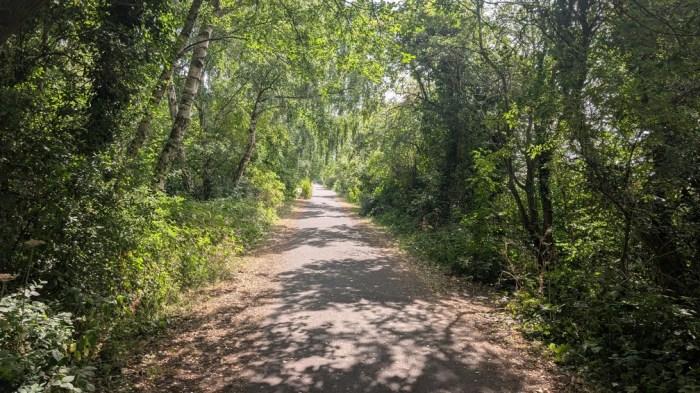
This involved a long walk along shady paths through a green corridor, dotted with various informational boards detailing aspects of the local history.
A bit of wrangling to get past the main roads, and then it was riverside, with more information boards, the most surprising of which was that most of the Japanese Navy of the very early 1900s was built here. And then it was time for The Bridges.
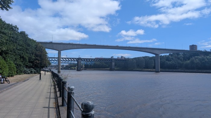
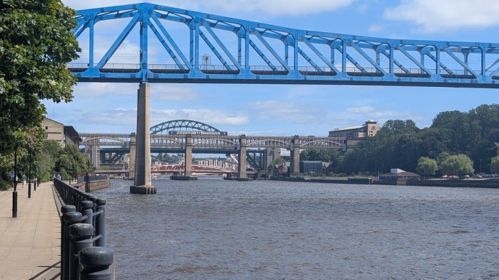
As I approached the Millenium Bridge, there were sirens going off, and I figured this heralded some action on the bridge’s part. And so it was. I stood and watched the bridge rise up to let a yacht through.
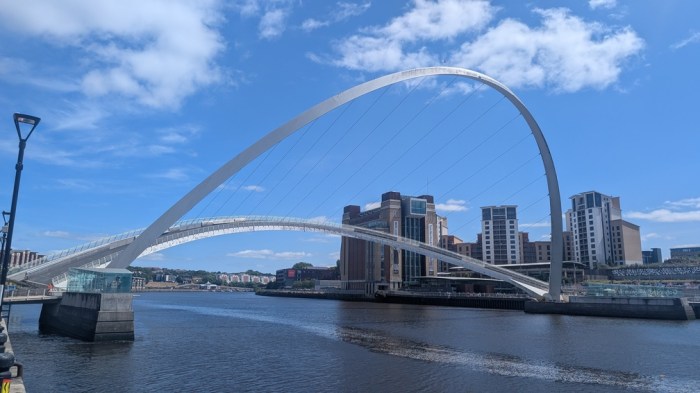
The bridges, and most of Newcastle’s other iconic sights behind me, I stopped just before losing sight of them at a Cycle Hub cafe, and finally got some bacon, and one of the best bits of lemon cake I’ve ever had.
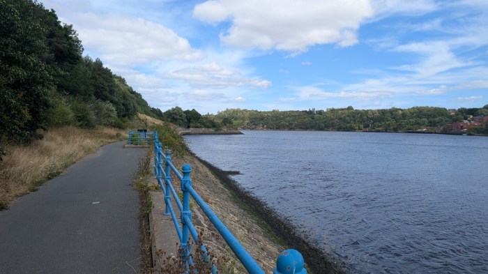
I caught up a couple who were on their last of 7 days walking and we chatted briefly – comparing notes on schedules and the rigours of the “best bit”. And then a lot of uninspiring riverside path before climbing away up and away from it on the final cycle path run-in to Segedunum. Near the end I was passed by 2 guys who, it later transpired had done the walk in 3 days. Ouch.
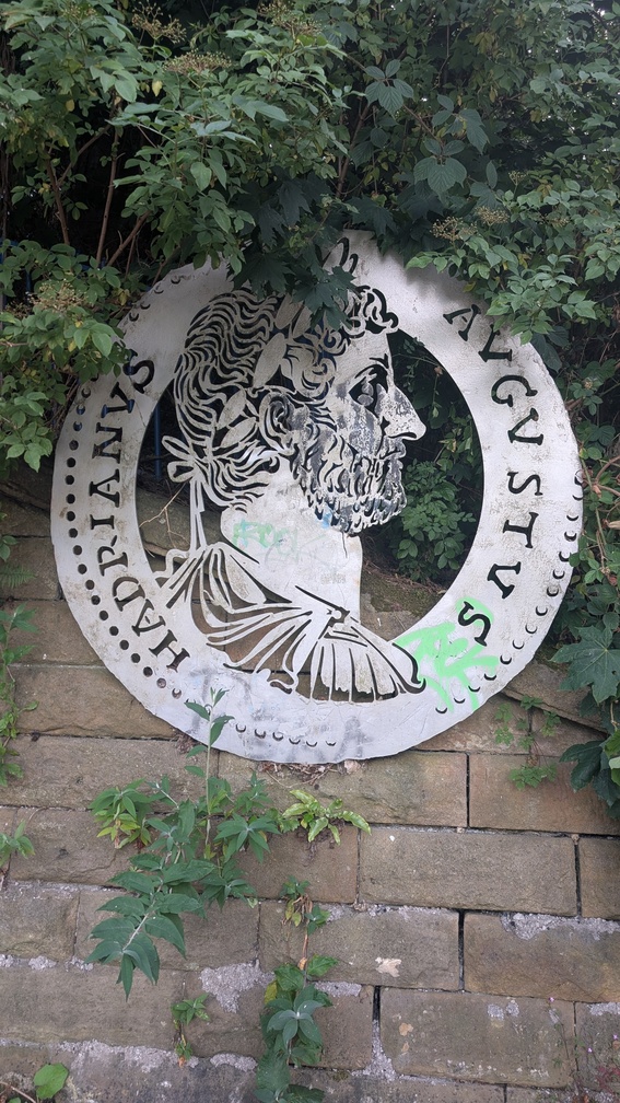
And then I was at the fort, and the walk was done.
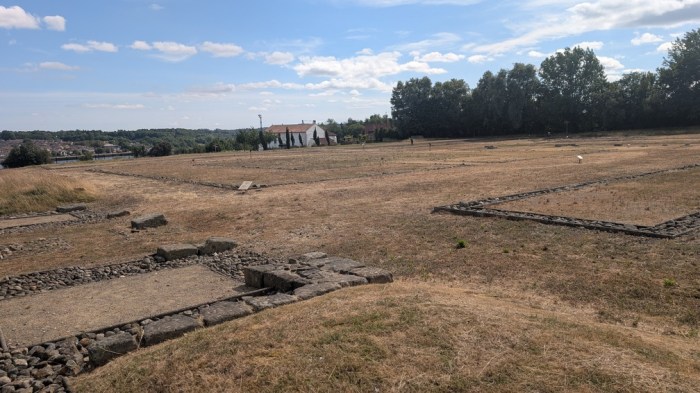
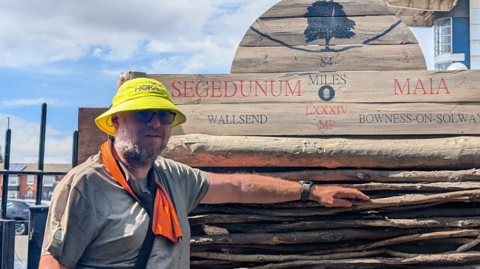
The walk may have been done, but I was still in need of cold beverages and ice cream, which the visitor centre furnished me with. I then made my way to the Metro for the circuitous ride back to my hotel, a Toby Carvery and a good rest.
Thoughts
This was just the walk I needed for this time – I’d set out wanting to push fairly hard with consecutive 30+ km days, whilst at the same time not sure how many of them I could do in a row. Not that many as it turned out. But I was massively hampered with the lack of sleep on the journey up, and knocking out 36km that first day was pretty impressive under the circumstances, and repeating the next day too with all that ascent. It was little surprise that I couldn’t keep it up for a third day, as all that fatigue caught up with me. And it’s not just the distance – it’s the time on feet that did for me.
Part of that was down to walking with someone, and the inevitable slowing of pace that chatting with a stranger for that length of time entails. This did help take my mind off of things, but it also stretched the day out – so much so that I really didn’t want a third day of it. Did I feel bad, dropping Tom ? Not really, we both came independently to walk the trail solo, and I still wanted to preserve some of that. I didn’t see him again after that, so I do hope he made it.
From a scenery perspective, the middle of day 2 to the middle of day 4 contained all of the good stuff, and from that perspective only I could quite happily not have bothered with the two ends of the trail. But that part was also the tough part (all those crags), and for the walk I did, I was glad to have the flatter sections to ease me in and out.
I was also using this as a tool to gauge how challenging (or if you prefer, crazy) I might want to make next year’s TGO Challenge route, by attempting to find my limits for doing big distances day on day. And I did get a sense of that – but I do wonder what the effect of a night’s sleep before starting might have had. Looking at my logs, I’ve only beaten that first two days total a couple of times – on the TGO Challenge last year (days 3 and 4), and on the Wessex Ridgeway in 2023 (days 1 and 2 of the second section) – both of which had some pretty big ascent, but both followed by rest days or a few much lighter days.
So what’s next ? My next hiking trip is likely to be late September, which was pencilled in for something like the Snowdonia Way. But I’m not sure now – I may do some sort of Snowdonia Way / Cambrian Way mashup, or set myself a challenge in the Lake District. Either way, it needs to include some hilly terrain as part of my preparations for the Beachy Head half marathon in October. Before both of those, I have a local 30 mile ultra to do, and plenty of prep for that…
