Last year I bought a bike, with the intention of using it to knock off some of the long journeys on my list that I may realistically never get around to if I were only using walking. I’d rather do the journey on 2 wheels than not at all, the thinking goes. So for instance, walking Land’s End to John O’Groats (LEJOG) is a fine way to spend the best part of 3 months on foot, but it’s more like 2-3 weeks on a bike, which brings it much more firmly into the realm of the doable than the fantasy of walking it. And of course, the same trick works on a smaller scale too.
Last year, I managed precisely one overnighter with the bike, and that was a test run out to a local campsite, albeit by a very circuitous route. This offered a chance to see what riding a loaded bike was like, as well as try out the practicalities of camping with a bike in tow. It went fine, but until this week, I’d never taken it to the next step of actually taking it out to tick off one of my long list of real journeys.
A few weeks ago, and prompted by a couple of YouTube videos, I began to look at the Downs Link as a candidate for a winter backpack, an enjoyable mini-adventure undertaken in the depths of winter and a good way to kick start the year. Further thought suggested it would also be a good candidate for a cycle tour too.
The winter backpack itself never happened as the winter was a very washed out and wet affair. But the idea stayed, and I came around to seeing it as more suitable for a bike trip. This would mean taking the bike on trains for the first time, and my first time riding in central London, albeit not for very far.
About the Trail
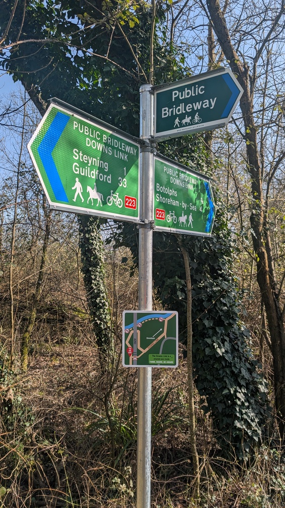
The Downs Link is a 36 mile (59km) shared footpath and bridleway connecting the North Downs Way at Martha’s Hill near Guildford with the South Downs Way near Upper Beeding. It was opened in 1984, and extended to Shoreham-by-Sea in 1993.
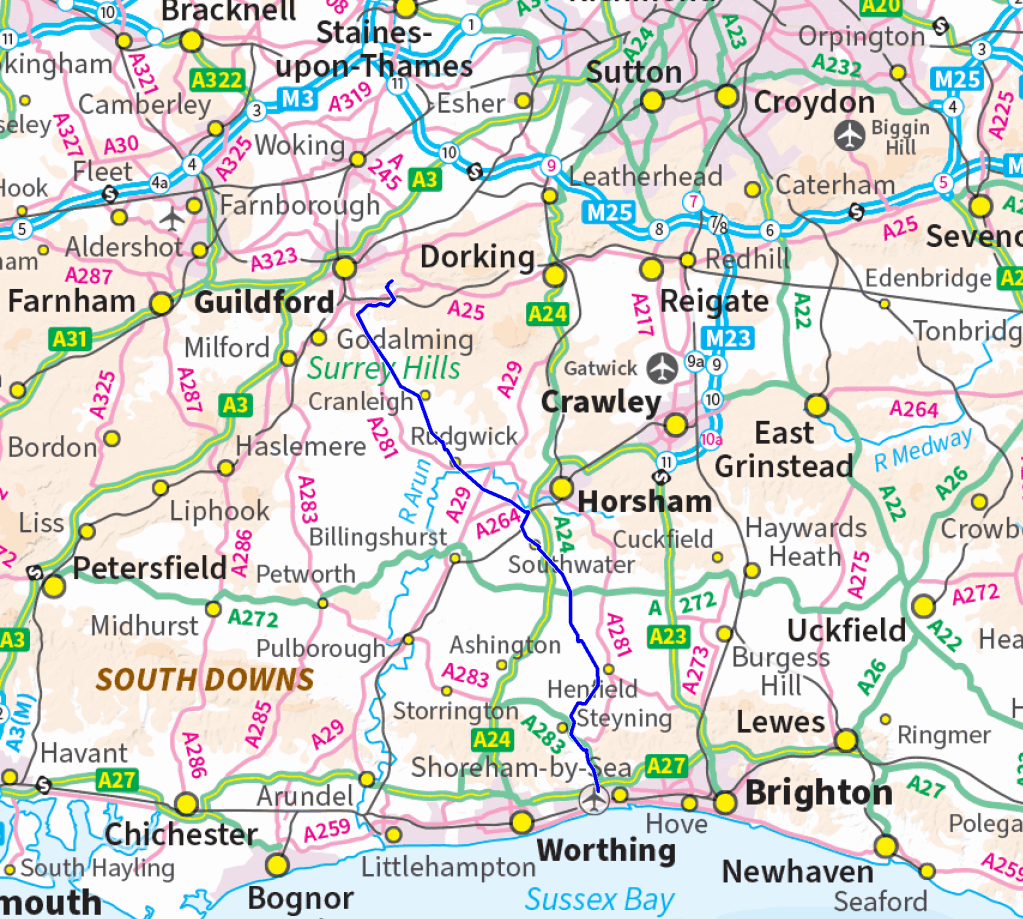
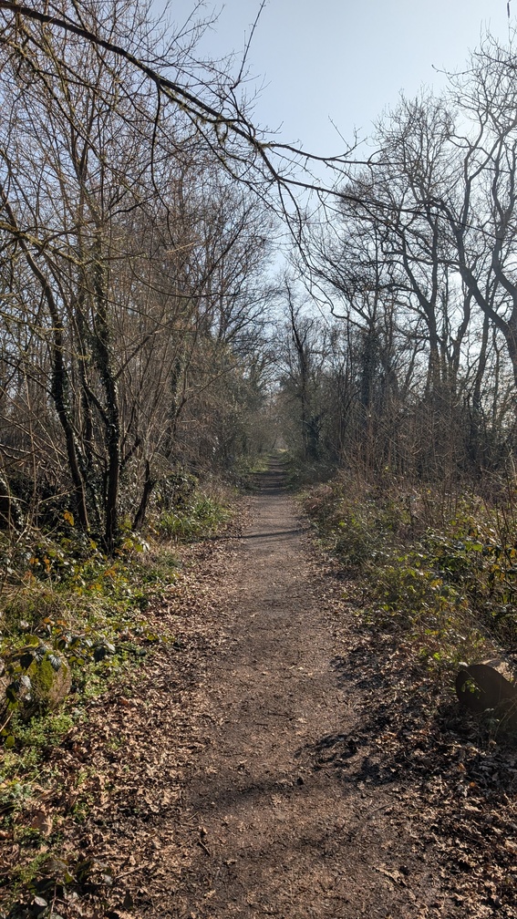
The route itself mostly follows the former track beds of 2 railway lines that closed in the 1960s, and as such means much of the route is gently graded. Indeed for someone who’s not really first and foremost a cyclist (cycling for me being very much a poor third to hiking and running), the lack of serious uphill work was distinctly appealing.
The route coincides with NCN 22 and NCN 223, meaning that it is well signed and doesn’t offer anything really challenging in terms of terrain underwheel. Indeed, I’d go so far as to say that the route becomes a bit samey, and I was glad I did it quickly in a little over 24 hours by bike rather than spend 2-3 days knocking it out on foot.
I also wanted to spend a night out, so although potentially doable in a single (very long due to travelling time at each end) day, I decided to spread it over two and use a campsite overnight. This constrained things a bit as when I planned it, I found precisely one campsite open (this was February), at about a third of the way down the trail.
Even though, the trip then slipped a week into March, when a couple more options opened up, I stuck with the plan to use this campsite.
Day 1: Home to Guildford to Rudgwick
Getting into London on the first off peak train worked fine, and then I had to dice with the ride down to Waterloo to pick up my next train. This turned out way better than expected, as just around the corner from Fenchurch Street I picked up the cycle way that goes the length of Lower Thames Street, which took me down to Blackfriars Bridge. It was then a simple matter of crossing the river and riding down The Cut to Waterloo. The next train ride went uneventfully too.
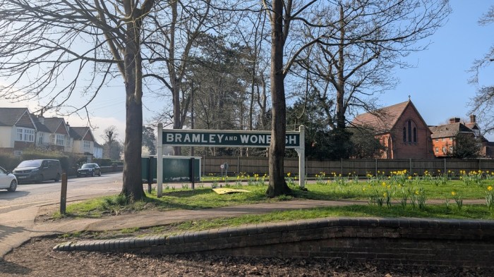
I emerged into the sunshine at Guildford for the riskiest and least certain part of today’s ride. I’d mapped out how to get south from the station to pick up the Downs Link, but on the map it looked a lot like riding busy roads. Indeed, the first few hundred metres was exactly that as I had to get across a 3 lane street in the one way system to pick up the right road south. I survived it, and it wasn’t very far down that road that I hid an offroad section, allowing me to relax a bit. Another short stretch of road brought me to Shalford where I grabbed a coffee and a sit on a bench.
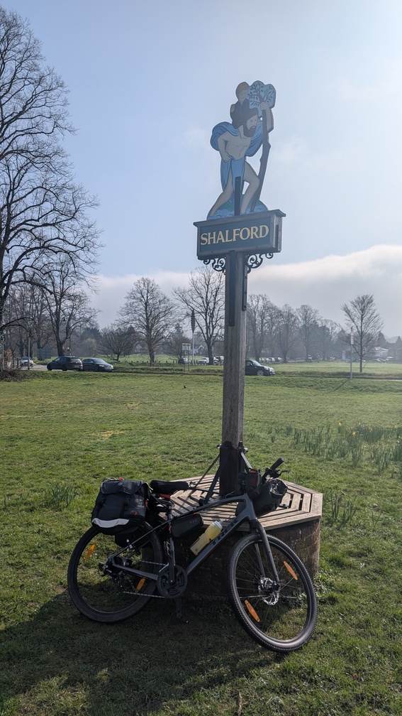
In planning the ride, I’d decided not to try to make my way out to St Martha’s Hill, the official start of the trail, and instead to simply head south out of Guildford and pick the trail up just the other side of Shalford. This left out some offroading, but did more closely follow the lines of the former railway.
I headed down the lane out of Shalford and picked up the trail itself. This soon dropped me on the Wey and Arun canal, before the railway track thing become more obvious.
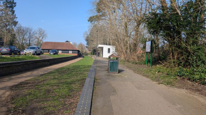
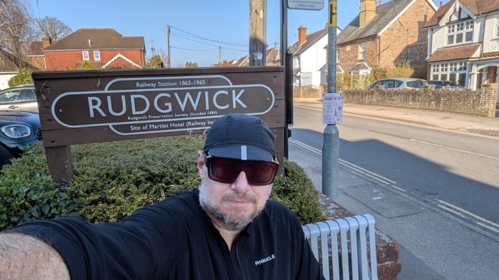
Now the thing with riding an old railway track is that it’s difficult to get any sense of where you are or how far you’ve ridden, unless the track crosses or meets a road, or there’s explicit signage to actual places. And so, I rode along, stopped a few times I knew not where, and eventually came to Rudgwick. Indeed, I actually rode past it and only realised I was pretty much at the day’s journey’s end when I saw the warning signs on the approach to the A281, a spot notorious for a history of slaying cyclists. I backtracked and climbed up off the trail into the village to grab a cold drink at the local shop. I was also much earlier than anticipated, so needed to kill a bit of time so I didn’t arrive too much ahead of the time I’d agreed with the campsite. Indeed, several of my stops along the way I used to shed some time, as I was aware of how ahead of schedule I was (the ride through London, had been so much easier than expected, I got an earlier train than planned).
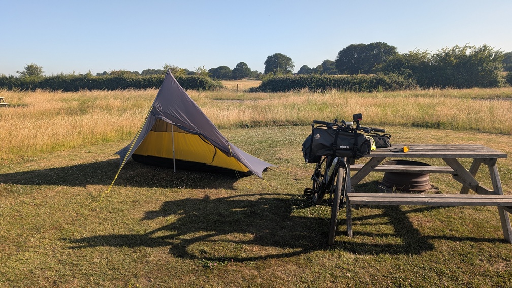
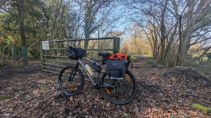
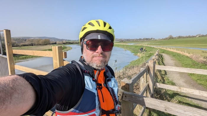
Eventually, the time drifted close enough to 3:30pm, and I saddled up and was on my way – the campsite lying immediately the other side of the Death Road. After a bit of toing and froing working out how to announce my presence at the site, someone came out and led me down to my pitch – a spot nestled in a curve of the River Arun.
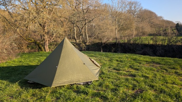
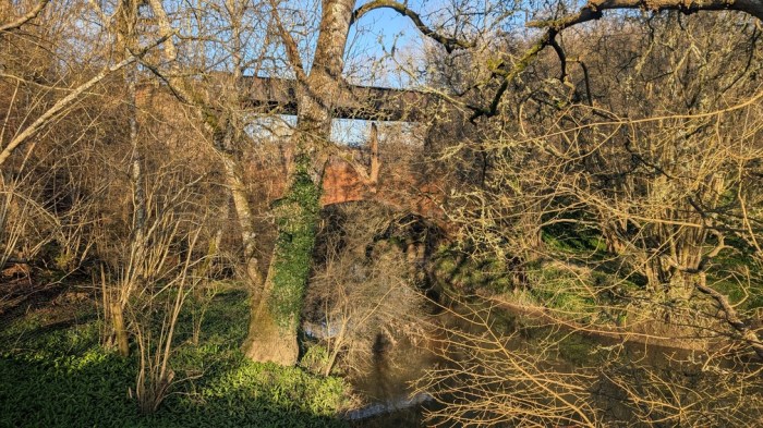
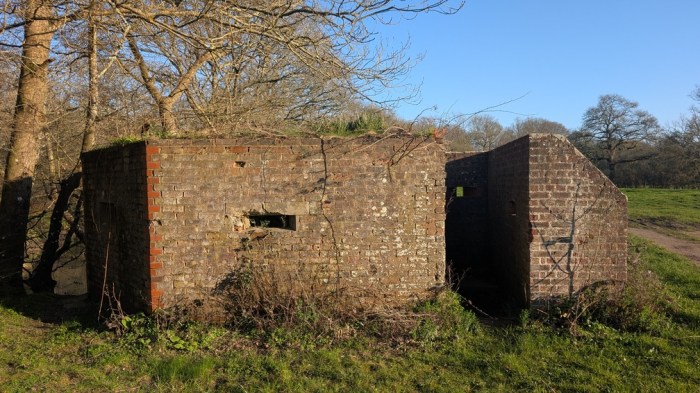
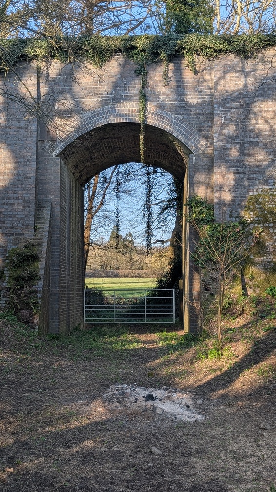
This was also almost directly opposite the double bridge which takes the Downs Link over the river, and the bridge which provides the logo for the trail’s waymark. To cap it off, there was an old pillbox less than 100m away too.
I pitched, did camp chores and settled down for a long night.
Day 2: Rudgwick to Shoreham and Home
I woke conscious that I was up against a deadline today. I needed to be done and dusted and back in London for 4pm to avoid being caught by the cycle-embargo for the evening rush hour. Get there for 4pm latest or have to wait until well after 7pm. So I set off very much in the frame of mind about getting it done. I had about 40km of the 60km remaining.
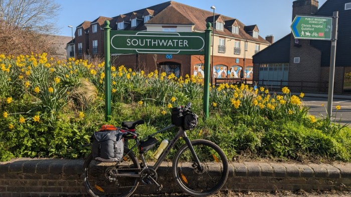
Back up to the Death Road and through the adjacent gate back onto the Downs Link, then over the double bridge and past my camp spot. Legs were feeling a bit worked from the day before. I stopped a few times – first at Southwater, mainly to get my bearings and work out where the trail went.
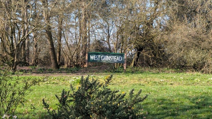
Then at West Grinstead, and soon after I came across a Cadence Cafe just off the B2135 at Homelands Farm, where I stopped properly for coffee and a piece of rocky road.
Back on the bike, more former railway line scenery before the South Downs came into view. This sight spurred progress even more, just as my legs were starting to have had enough, and just as the trail detoured away from the River Adur to get around farmland. This involved several climbs that weren’t big in themselves but which were more than enough for me pulling a heavy bike.
Heading into Bramber, there was an incident with an oncoming car over a narrow bridge, the driver seeing me on the bridge already deciding there was plenty of room. I ended up scraping my elbow down the fence, with the car behind waiting patiently. Generally, traffic had been nothing but respectful on the journey so far though, this incident aside.
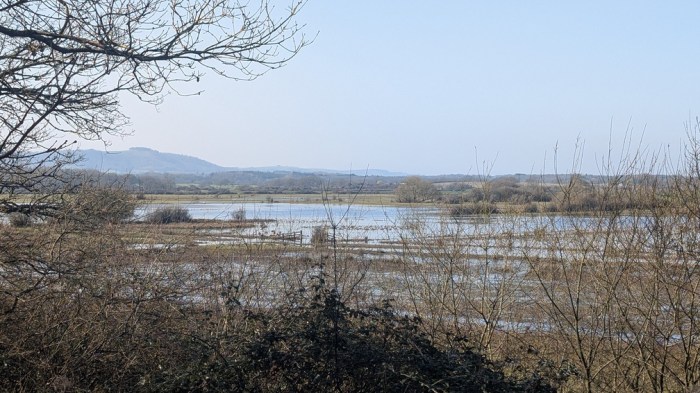
Down alongside the Adur now, and a short stretch that coincided with the South Downs Way, before the final riverside dash to Shoreham-by-Sea. I was an hour-and-a-half inside my latest train time, but I still decided not to cross over to Shoreham Beach to mark the end, contenting myself with the riverside near the road bridge.
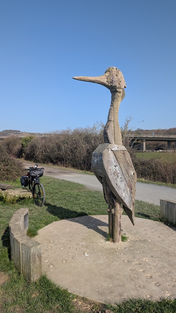
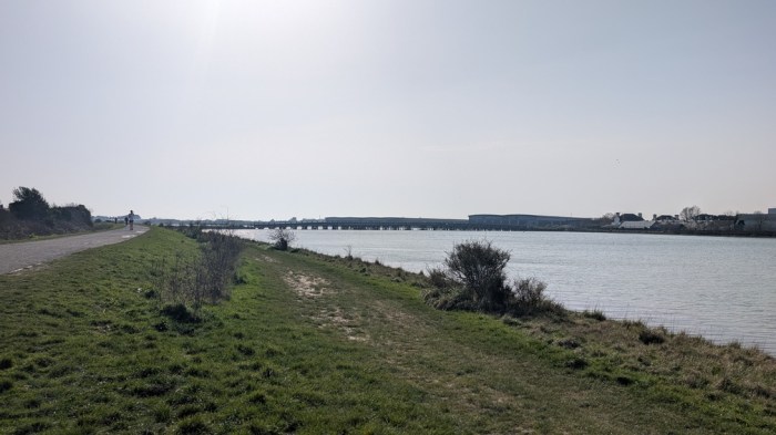
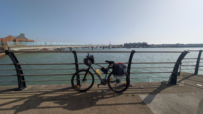
I took a couple of pics then headed for the station to make my way home.
Thoughts on the trail
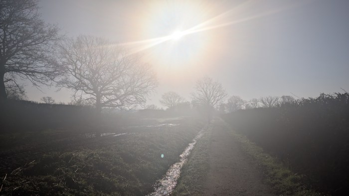
I chose this trail specifically because it would be easy to cycle, and the thing that made biking it easy was also the thing that drained it of interest. Riding old railway lines is great from a terrain perspective, but often they are just avenues of trees without much else to see, unless you happen upon the site of an old station. Which there are a few of on the trail.
But at the end of the day, I didn’t pick this trail for its scenery – I picked it for something straightforward that wouldn’t take too many days. This was very much about getting out.
This is not a trail that I’ll ever feel the need to do again though – and I’m glad I didn’t take the 2-3 days that walking it would have needed, I’d have been bored silly.
Thoughts on Bikepacking
Another thing that has become even more clear is that I’m still a fair way off being able to do the sort of routes which will seriously contribute to ticking off my list: the distances I seem to be able to pull out are not much more than I could hike, and that’s before I even factor in the elevation gain. A lot more working up is needed to reach a level where doing something by bike is making a significant difference in the doability for me. And if I’m realistic, cycling just isn’t enough of a priority for me to make that investment.
So for now I think I’ll be sticking to easier routes, and not taking the bike to the hills just yet.